
The Covid-19 outbreak contributed to highlighting the inherent issues of urban environments. Modern cities are speed-based: they are designed to allow citizens to move from one point to another in the fastest possible way. Interestingly, the growing efficiency of transportation systems led the cities to expand. Citizens’ travel times, in fact, remained the same through the decades while the travelled space expanded (see the Marchetti Constant). The side effects of this process are well-known: public transportation overcrowding (a critical issue during the current pandemic), traffic jams and hours spent every day travelling towards work or leisure activities.
The Complex Systems scientist, Carlos Moreno from Sorbonne University in Paris, proposed a new concept to revolutionise urban environments: the 15 Minutes City. Moreno suggested redesigning the cities: individuals should always be able to reach the set of venues they visit the most (e.g., workplace, groceries and recreational sites) within a 15-minute travel distance, either by bike or on foot. These neighbourhoods’ ideal configuration is already a reality in some major urban cities. However, many of the population still experiences distances and travel times far above the 15-minute goal.
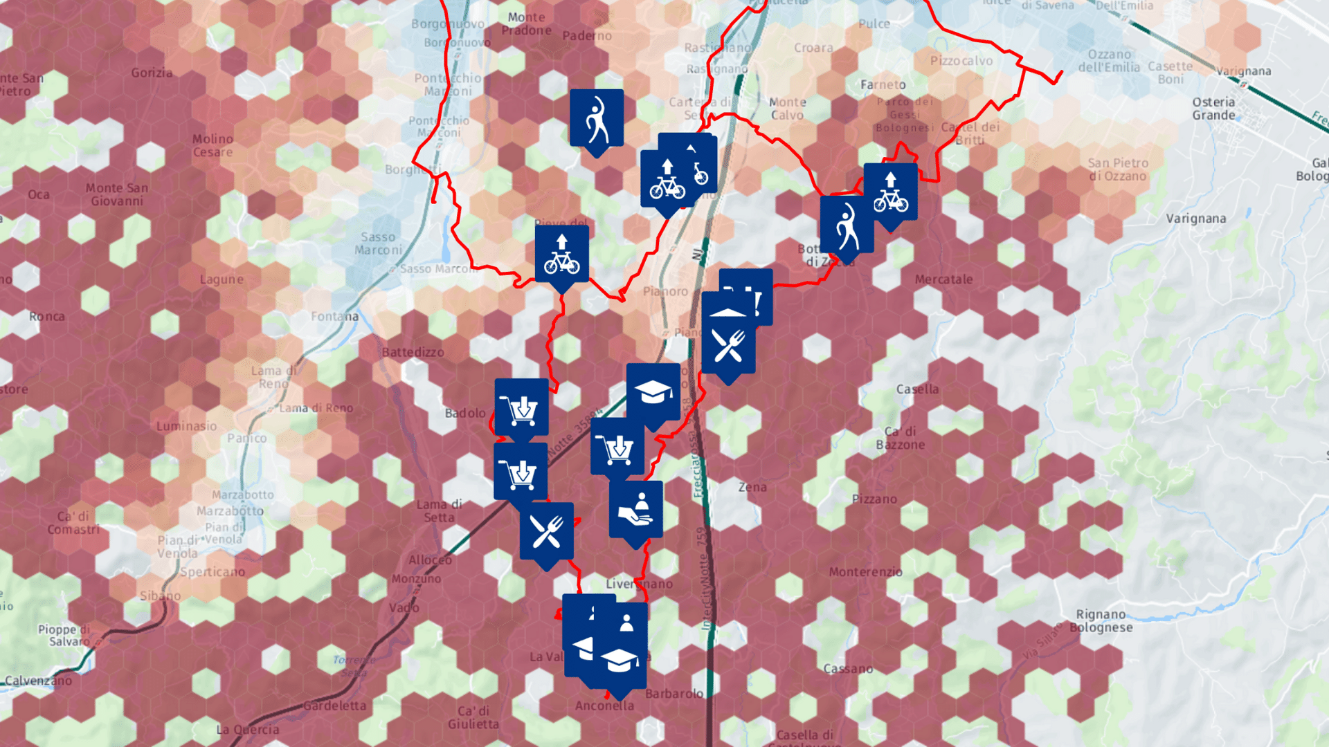
To assess whether different urban areas or different cities are compliant with this new model, Sony CSL developed the 15 Minutes City Platform. This platform exploits open data about venues in cities, historical data about individuals’ GPS tracks, and routing algorithms to map how different parts of a city are far or close to the 15-Minute concept. This tool is freely available online for anyone to explore and will be enriched with more data and information. The project will further develop by including new cities and new features.
The 15 Minutes City platform here.